The winter woods is where it's at. That was my first thought today shortly after starting my hike on the River to River Trail. This is the 3rd day of hiking and my legs sure felt like I had covered 32 miles in 2 days! But I was able to have a slow morning and let my body recover some because today was going to be a shorter day. The plan was to pick up where I left off in Herod and hike to Concord Cemetery on Raum Road. If I went any farther I would be committed to hiking at least 10 more miles through the Lusk Creek Wilderness Area and that would be too far for one day.
I checked out of my wonderful lodging accommodations at Rim Rock's Dogwood Cabins and drove to Herod. Of course I had to pull over and take a photo with the Big Muddy Monster (aka Sasquatch) at the intersection of Karber's Ridge Road and Garden of the Gods Road.
 |
| Posing with Bigfoot |
I had arranged for a friend who lives near Eddyville to pick me up, take me to my car, and give me a place to stay for a couple days. I started out hiking with the intention that I would hike the entirety of the official River to River Trail, including the road sections, but when I got to Herod, the idea of walking 2 miles on a paved road to the next trailhead seemed insane. I had nothing to prove to anyone or myself and since I was driving back and forth each day, I decided that if the road sections were at the start or end of any section I wanted to do each day then I would just drive to the next place where the trail enters the woods. I just could not justify walking along roads I have driven a hundred times for no good reason. A purist will probably disagree with me and I would have agreed with them 15 years ago when I did my first thru-hike, at 42 I have become more sensible, LOL! Anyway, I arrived at the trailhead on Raum Road and started my hike at noon.
 |
| At the trailhead on Raum Road |
It was a glorious day. The sun was shining and the light layer of overnight snow remained on the north slopes. The woods were relatively quiet, just the occasional sound of wildlife was all that was heard all day. And for the third day in a row, I encountered no other people. There was one creek crossing right away, but downstream the water was shallow so crossing was not a problem. The forest was very nice in this spot and there was a campsite next to the creek.
 |
| Mature Oak trees |
 |
| The creek crossing |
It's wasn't long before I started to see dramatic topography with sandstone outcrops. The trail followed the cliff edge and provided some expansive views to the east.
 |
| Sandstone bluffs |
 |
| Selfie at one of the overlooks |
I heard the familiar screeching sound of a Red-tailed hawk and as I watched it fly away a Turkey Vulture came the other direction. Yesterday, Pileated Woodpeckers were making a chatter, but other than that the woods were relatively quiet. But to be honest, I wasn't always listening that attentively because as I walked along the trail in this area, inevitably my mind drifted to observing and thinking about plants.
I started thinking about and looking at all the plants that are still green this time of year and it’s more than one might think. Lots of ferns like Ebony Spleenwort (
Asplenium platyneuron), Marginal Shield Fern (
Dryopteris marginalis), the ubiquitous Christmas Fern (
Polystichum acrostichoides), Hairy Lip Fern (
Cheilanthes lanosa), Common Polypody Fern (
Polypodium virginianum), and Common Woodsia (
Woodsia obtusa) were still happily photosynthesizing and green.
 |
| Ebony Spleenwort Fern |
I had my eye out for two more uncommon ferns that I thought could be growing in this area and my careful observation paid off! There was a small rock outcrop right along the trail with several clumps of Maidenhair Spleenwort Fern (
Asplenium trichomanes) and a patch of Resurrection Fern (
Pleopeltis polytpodioides), which by the way is my favorite botanical name to pronounce. I have not seen those species anywhere else along the trail.
 |
| Maidenhair Spleenwort Fern |
 |
| Resurrection Fern |
Other green plants included lots of graminoids like Poverty Oats (
Danthonia spicata), which looks like pubic hair, Glaucous Sedge (
Carex glaucodea), perhaps the easiest sedge to identify, and even a rush called Wood Rush (
Luzula multiflora). I always tell my students not to rush to an ID when looking at rushes, LOL! Wood Rush is an early spring bloomer so that got me noticing other spring blooming plants that are putting out fresh growth right now like Widow's Cross (
Sedum pulchellum), various grasses in the genus
Dichanthelium, and other herbs like False Rue Anemone (
Enemion biternatum) and Chickweed (
Stellaria media). Oh and of course moss, lots of moss, with fun names like
Dicranum,
Thuidium,
Grimmia,
Polytrichum, and
Leucobryum.
 |
| Poverty Oats Grass |
 |
| Dicranum moss |
 |
| Thuidium moss |
 |
| Grimmia moss |
Other plants have turned brown and gone dormant for the winter, but can still be easily identified like Wild Oregano (
Cunila originanoides), various Goldenrods (
Solidago spp.), Purple False Foxglove (
Agalinis tenuifolia), and a non-native plant that loves to grow along trails called beefsteak (
Perilla frutescens).
Of course woody plants can be identified any time of year whether it’s an oak tree with clustered buds and signature bark or the winged twigs of winged elm (
Ulmus alata) or the remnants of fruits on Tulip Tree (
Liriodendron tulipifera). I never get bored looking at plants!
 |
| Winged Elm |
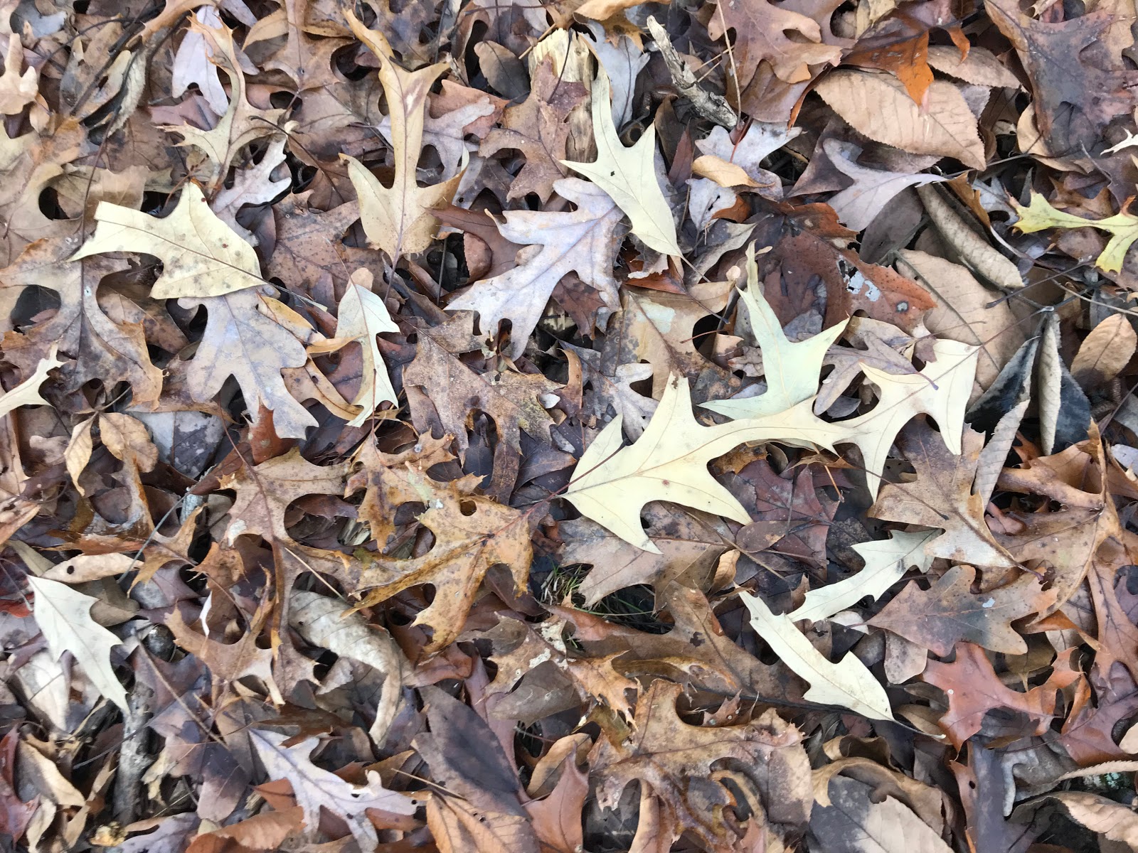
You can also identify plants by looking at the leaves on the ground and before this hike I had no idea how common Southern Red Oak is in southern Illinois, but I frequently found fallen leaves of the species on the trail. Enlightenment comes to the careful observer.
 |
| Southern Red Oak leaves |
Then I found myself at an amazing overlook with a wide view of the forests to the east. The pine trees are very evident this time of year and the dense pockets of the evergreen trees dotted the landscape. All of the pine trees except for a few that occur at Piney Creek Ravine and LaRue Pine Hills have been planted or regenerated from seeds that originated in a nearby pine plantation. The two most widely planted species are the native Shortleaf Pine (
Pinus echinata) and Loblolly Pine (
Pinus taeda), but there is some White Pine (
Pinus strobus) as well.
 |
| Overlook with Pine trees in the distance |
I was glad I had a shorter day because I definitely was walking with a limp today and it was interesting how the pain would come and go from different areas. I started off with just a sore left knee and then my right hip started to hurt after the pain in my knee went away and then my right knee started to hurt so I made sure to walk slowly and deliberately and steadily toward my end for the day. But I was so excited to hike this wonderful trail that I did not let it bother me. As long as I could move my legs, no matter the pain, I was determined to keep pressing on. But I must admit, I did take a couple Motrin and a couple slugs off the flask to help the pain.

It thought would be interesting to put a GPS unit on my dog to see how many miles she travels in a day since she does a lot of extraneous running around and back-and-forth. She definitely hiked a lot farther than I did! But when I got to my overnight accommodations I noticed she was limping. I hope she is just sore like I am, but since I can't ask her if she is alright I will see how it goes in the morning. It's good that there is an option for her to stay at my friend's house tomorrow if need be, but I will miss my hiking buddy. Heal up pup!
Back to the trail, I was curious to see the "one horse gap" section and when I finally got there, I could see why it got the name. The bluffline up to the section was magnificent hiking.
 |
| Ruby looking at one horse gap |
 |
| More sandstone bluffs |
To get through some of the more monotonous sections of trail I came up with this cadence to go with my pace.
I gotta make some miles
gonna have some smiles
gonna last a while
cause I"m a hikingphile!
Before long I came to the Benham Hill trailhead, which is a huge gravel parking lot developed to accommodate lots of trucks and horse trailers for this popular equestrian area. I was glad no one was there and pressed on. Soon I reached my destination, Concord Cemetery, and looked at the gravestones while I waited for my ride.
When my friend arrived I asked him if he had ever been to Williams Hill, the highest point in southern Illinois, and he had not so after getting my car we drove the short distance to the high point. I have only been here once before and there was a sign denoting the spot, but it was not seen this time. That was disappointing because this spot is very undramatic, it's basically a couple towers on a broad hill without any views, but I took a photo anyway.
 |
| Towers at Williams Hill |
The map said the distance was only 8 miles, but my phone app said 10.7. It took me 4 hours to complete.
 |
| Today's path is in purple |


Thanks for sharing your adventures, Chris.
ReplyDeleteMy pleasure!
DeleteThanks Chris your writing and pictures are great and we've been sharing your daily adventures. Hope you and Ruby are feeling better today! We would like to talk with you when you make it to the Makanda area. If possible give us a call the day before. Thanks, Loraine & Malcolm 618-697-7929 10 -7pm is our best hours for a phone call :)
ReplyDeleteIt was great it worked out for a visit.
DeleteLooks great babe! Love following your adventure!
ReplyDeleteAn adventure it has been!
DeleteI read your article and it is very nice & helpful thanks for sharing your work keep it up your work and tell us more interesting pieces of information thanks again for your work. my phone app
ReplyDelete